
The Center for Atmospheric Sciences coordinated a multi-institutional meeting focused on Earth science observations, satellite validation, data access, lidar expertise, and student training.
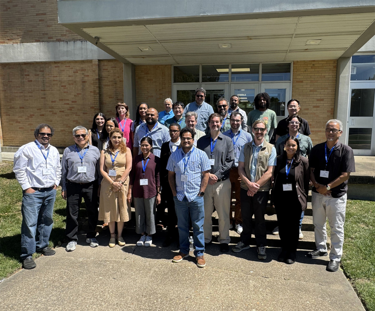
Hampton University’s School of Science hosted the NASA Surface-Based Measurement Network meeting, bringing together representatives from 16 partner institutions, students, faculty, and federal collaborators to advance Earth science observations, satellite validation, and data access. The meeting was coordinated through Hampton University’s Center for Atmospheric Sciences, which continues to serve as a hub for atmospheric observing systems, coastal meteorology research, air quality studies, and student-centered Earth science training.
Surface-based measurement networks are critical to NASA Earth science because they provide the ground-based observations needed to interpret, validate, and improve satellite measurements. Instruments such as Pandora, AERONET, lidars, ceilometers, and surface air-quality monitors help connect what satellites observe from space with what is happening in the lower atmosphere, where air quality, aerosols, clouds, and boundary-layer processes directly affect communities, ecosystems, transportation, and environmental decision-making.
This connection is especially important for NASA’s TEMPO mission, which provides frequent daytime observations of atmospheric pollution over North America from geostationary orbit. TEMPO offers a new view of how pollutants and ozone precursors, including nitrogen dioxide and formaldehyde, change throughout the day. However, satellite observations often represent measurements through the atmospheric column, which means they need ground-based and vertically resolved observations to help determine how much of the signal is near the surface, how much is elevated, and how transport, mixing, clouds, and coastal meteorology influence the interpretation.
Hampton University brings important expertise to this effort through its long-standing capabilities in lidar, ceilometer observations, coastal meteorology, and atmospheric composition. Lidar systems provide vertical profiles of aerosols, clouds, and boundary-layer structure, which are essential for connecting satellite and column observations to near-surface air quality and atmospheric processes. This is particularly relevant in coastal environments such as Hampton Roads, where sea-breeze circulations, boundary-layer evolution, transported pollution, and elevated aerosol layers can strongly influence the relationship between satellite observations and surface conditions.
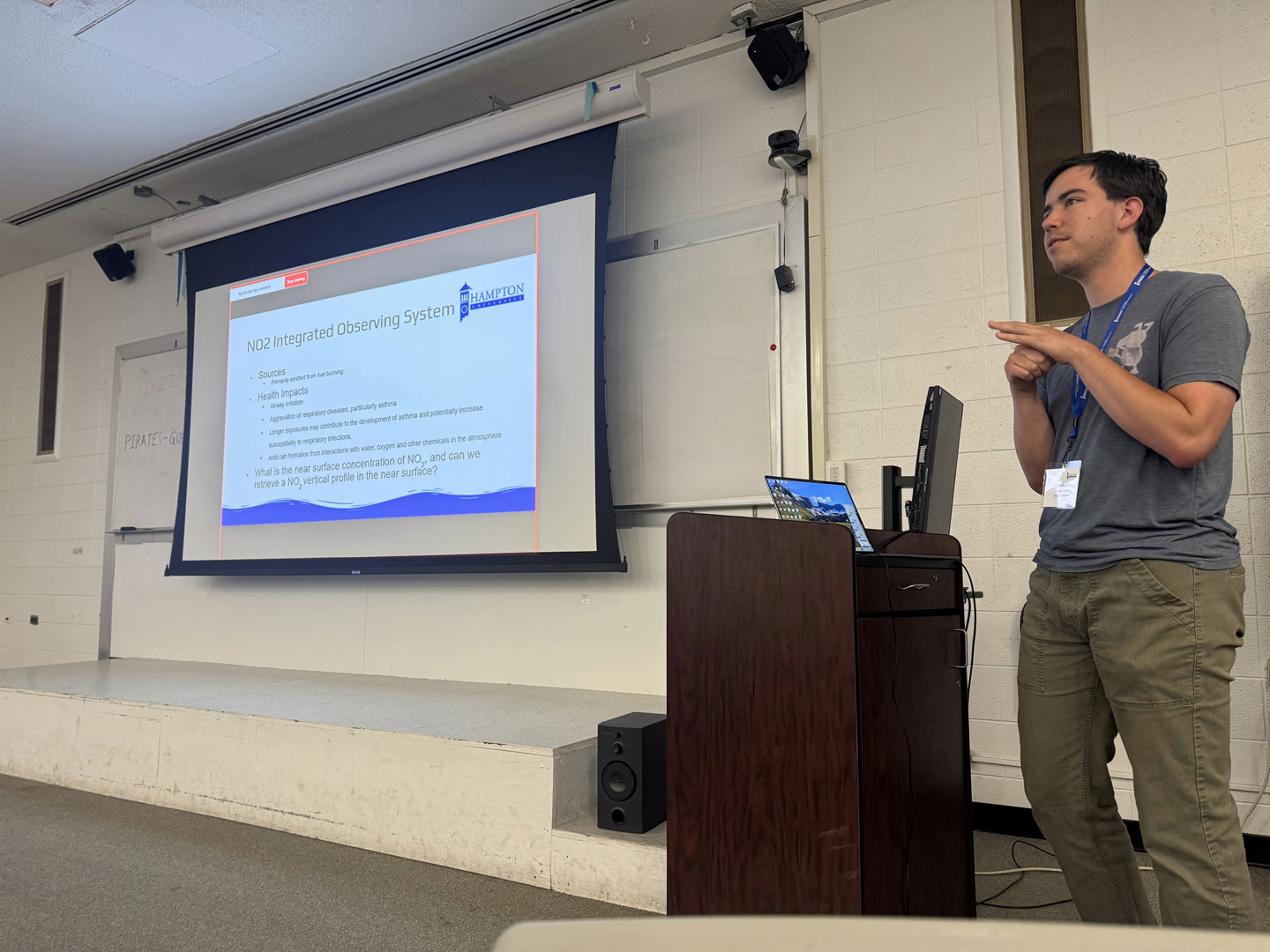
The meeting also highlighted graduate student research within the School of Science Department of Atmospheric and Planetary Sciences. Hampton University graduate student Theodore Mackey presented “Trace Gas Integrated Observing System at Hampton University,” which examined how TEMPO satellite observations, Pandora column measurements, NO₂ vertical profiling, and ceilometer-derived boundary-layer heights can be integrated to better understand near-surface air quality in the Hampton Roads region. His presentation demonstrated how student-led research at Hampton is directly contributing to satellite validation, trace gas observations, and the development of methods that connect atmospheric column measurements with conditions closer to the surface.
The meeting focused on the use of NASA and partner datasets, including TEMPO satellite observations, Pandora column measurements, AERONET aerosol observations, GPM precipitation products, and EPA surface air quality networks. Participants engaged in science working groups, technical discussions, and hands-on training designed to support research in atmospheric composition, aerosols, precipitation, coastal meteorology, satellite validation, and data systems.
A major component of the meeting was training in EPA’s Remote Sensing Information Gateway, or RSIG, and related PYRSIG tools. The training provided participants with practical workflows for accessing, visualizing, and analyzing satellite, column, and surface air quality datasets. These tools support reproducible research and help research teams more effectively use NASA and EPA observations in ongoing and future projects.
The meeting also connected training directly to upcoming NASA campaign activities. Three interns from the inaugural cohort of NASA’s First Immersion in Earth Science to Action program attended the training to begin work on TEMPO and Pandora analysis in support of the upcoming NASA EVS-4 HAMAQ campaign. By hosting and coordinating this meeting, Hampton University’s School of Science and Center for Atmospheric Sciences further demonstrated the University’s role as a national partner in Earth science research, workforce development, and atmospheric observing systems. The event strengthened collaboration across institutions and federal partners while creating new opportunities for students and early-career researchers to contribute to NASA Earth science, air quality research, satellite validation, and environmental monitoring.